Connecting ArcGIS with R and Conda
Shaun Walbridge
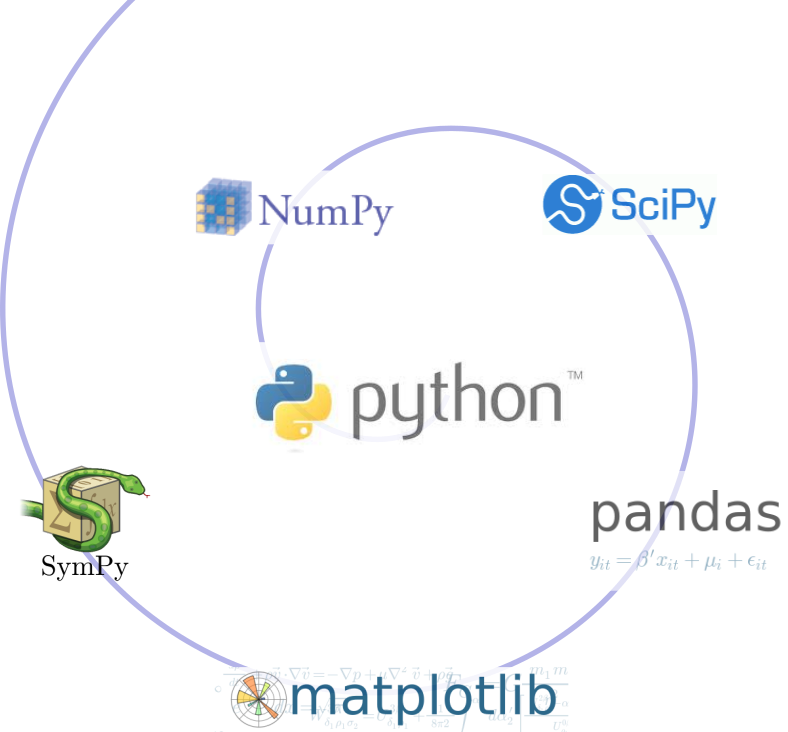
The SciPy Stack
Why Conda?

Scientific Python community identified that there was a gap not being addressed by the core Python infrastructure, limiting their ability to get packages into the hands of users
Industry standard built by people who care about this space — Continuum Analytics (Esri partner)
Why Conda?
It solves the hard problem:
- Handles dependencies for many languages (C, C++, R and of course Python)
- Built for Python first, but it really solves a much broader infrastructural issue.

- Cross-platform: Simply develop recipes for building and installing software on Linux, OS X and Windows.
- Open source: Esri is using it, you can use it in your own projects for other contexts
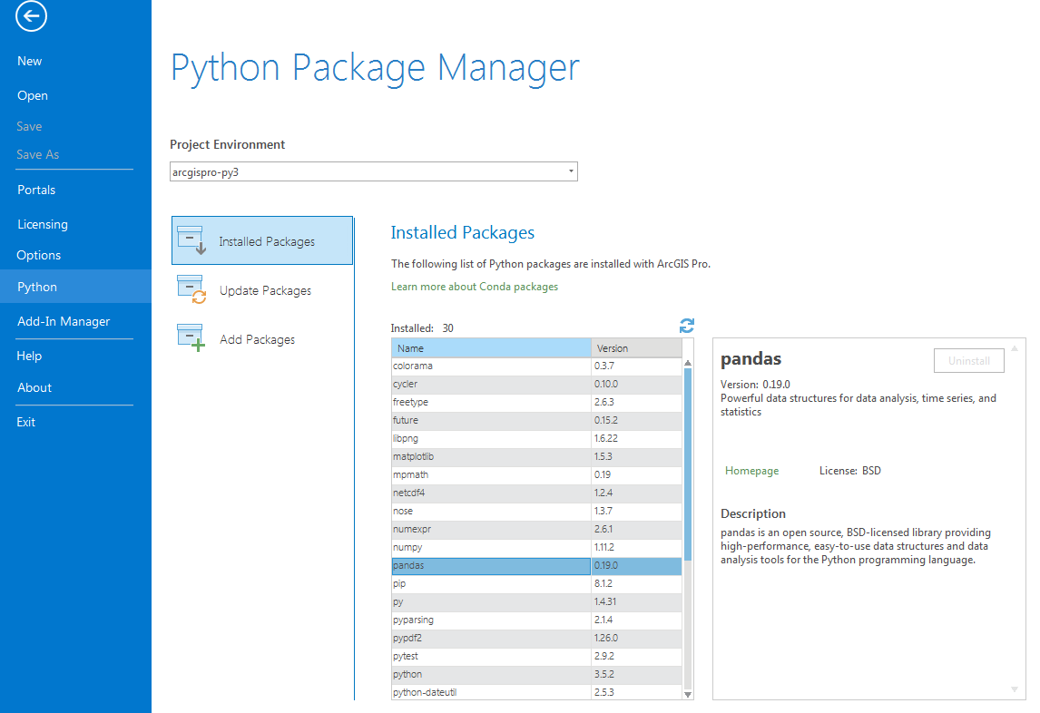
What can it install? Not just scientific packages, can install everything from interactive environments like Spyder to Jupyter Notebooks.
- Environments — Can isolate an environment, flexibly make changes withot affecting installed software.
- Requirements — include explicit state information, not just the package name.
- Packages — an environment is built up from one or more packages, can be from many languages – from R to C++ to Fortran.
- Also handles platforms and Jupyter notebooks
How can I use this?
Esri and  ?
?
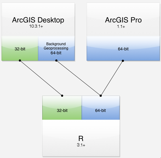
- Integration via ArcGIS–R bridge
- Joined R Consortium and R Foundation
- More to come — GIS has historically been more coupled with Python
Why ?
- Powerful core data structures and operations
- Data frames, functional programming
- Unparalleled breadth of statistical routines
- The de facto language of Statisticians
CRAN: 6400 packages for solving problems- Versatile and powerful plotting
R — ArcGIS Bridge
R — ArcGIS Bridge

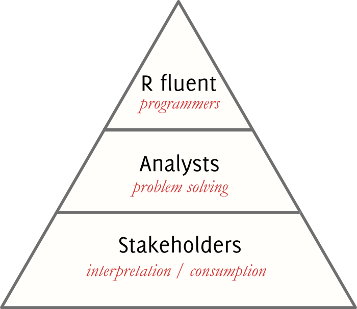
- ArcGIS developers can create tools and toolboxes that integrate ArcGIS and R
- ArcGIS users can access R code through geoprocessing scripts
- R users can access organizations GIS’ data, managed in traditional GIS ways
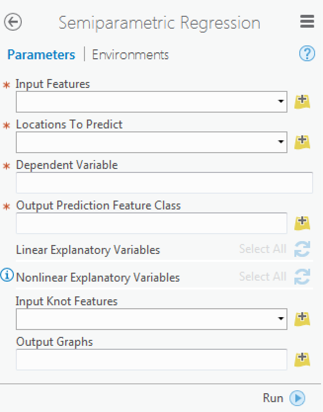
Building R Script Tools

Where Can I Run This?